


SAN DIEGO, Calif. (Jan. 7, 2020) – StrackaLine has completed an integration with Gallus Golf that incorporates its projected putt path technology directly into the golfer app experience at Torrey Pines’ North and South courses.
Gallus Golf creates a customized GPS app for courses, which can be used with all major smartphones, and StrackaLine has shared its detailed greens map data with Gallus for use at Torrey Pines. The greens data, which StrackaLine collected using a 3-D laser scanner, is accurate down to the millimeter and lets golfers set the ball and hole location on each green, allowing the Gallus Golf app to provide a projected putt line and distance.
For clubs that use StrackaLine’s Hole Location software, the app will automatically sync the hole location, making the technology even easier for golfers to use.
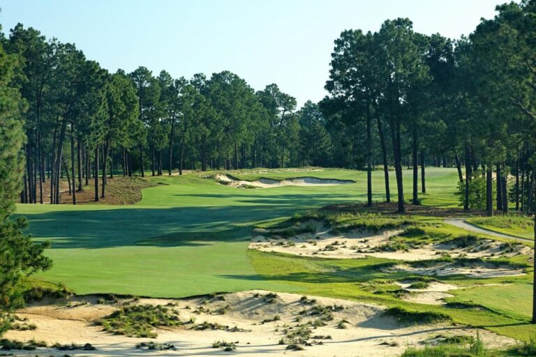
“We are always looking for ways to enhance the golfer experience with our industry-leading technology, and partnering with Gallus is another step in that direction,” StrackaLine president Jim Stracka said. “We look forward to helping recreational golfers read putts and lower their scores at Torrey Pines, one of America’s great destinations.”
StrackaLine has been one of the golf industry’s great business success stories in recent years. The company uses a 3-D laser scanner and proprietary hydrology software to create a topographical map of each that is accurate down to the millimeter.
StrackaLine’s surge in popularity has been buoyed by use of its greens guides at the highest levels of the game. Players on the PGA, LPGA and Korn Ferry tours use the innovative greens guides, as do more than 300 Division I college teams.
Popularity at the top of the game has led to adoption of the technology – greens guides and hole location – at all levels.
StrackaLine scans courses for $1,500 and that includes 100 greens guides for resale. The scanning process takes five hours to complete and is unobtrusive to the golfer experience.
StrackaLine now has 1,000+ courses scanned, including some of the nation’s most prominent layouts.
The greens maps, which feature easy to read arrows, allow players to view contour and fall lines, in addition to slope percentage, anywhere on the green.
For more information on how to order a greens guide or have a course scanned, go to www.StrackaLine.com.
